The peak of Stožina is located on the territory of the Durmitor National Park above the Pošćenska dolina. This is far from the highest point of Durmitor, however, due to its picturesqueness, it has become one of the symbols of the national park and one of the most frequently photographed peaks. It is called the gateway to South Durmitor.
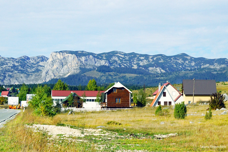
Crvena Greda is a Durmitor peak located near the town of Žabljak in Montenegro. The path to it is one of the most famous and frequently visited routes of the Durmitor National Park, which is not surprising: it is quite interesting and picturesque, moreover, not very long and difficult, and the views from the top deserve to climb it. 
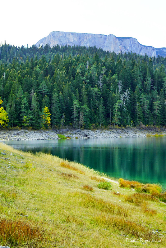
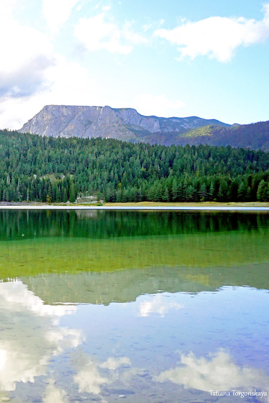
An excellent view of the Crvena Greda also opens from the shore of the Black (Big) Lake.
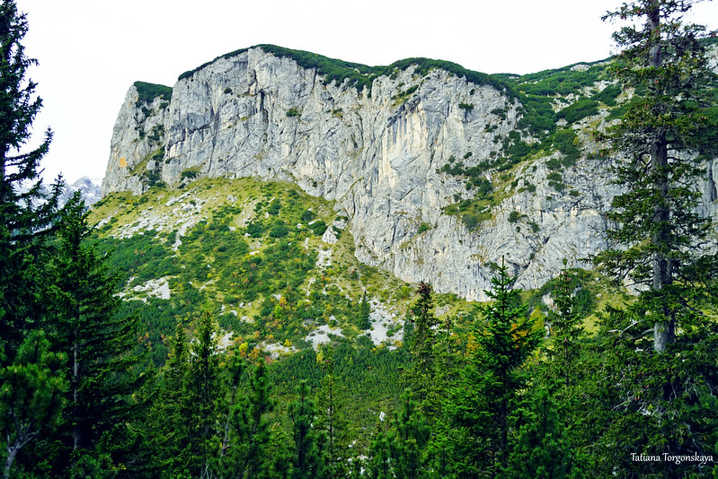
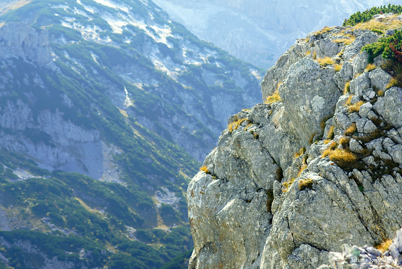
By the way, it is easy to distinguish it from other mountain peaks not only due to its rather impressive size, but also, most importantly, due to its unusual upper part.
From some angles, the mountain looks like someone cut off its top with a knife.
There are three main routes to the Crvena Greda.
There is a marked trail from the mountain shelter Škrka, the passage of which will take about 4-4.5 hours at an average pace without long stops.
There is also a path through the mountain Ališnica. The park administration states that it should take 3 hours.
The most popular route is laid from the village of Bosača. You can drive directly to it by car, but if you don’t have your own transport, it’s really possible to walk to the village in an hour from Black Lake along the marked route. From Bosača it will take 2-2.5 hours to climb to the top if you go at a moderate speed.
A variation of the last route will be to start the journey in the vicinity of the village of Bosača, under the restaurant "Momčilov grad", from the local road Žabljak - Mala Crna Gora.

The desired direction is indicated by a yellow sign with the name of the summit and the time it takes to complete the path (2 hours at a normal pace without stops).
Near the arrow there is a place for safe and free parking.
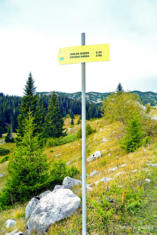
The downside, however, is that there are no markings here, and part of the way you will have to determine the direction yourself, without marks.
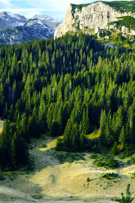
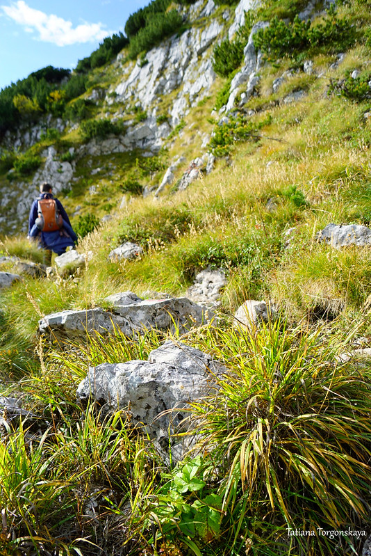
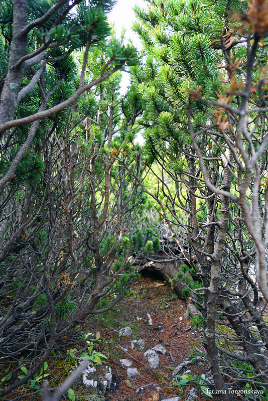
It doesn’t take long to walk along the valley, soon a coniferous forest begins. This segment is very simple, since the road is wide and cleared.

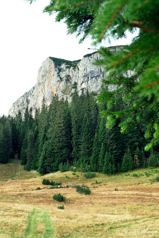
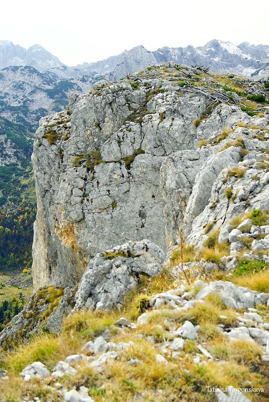
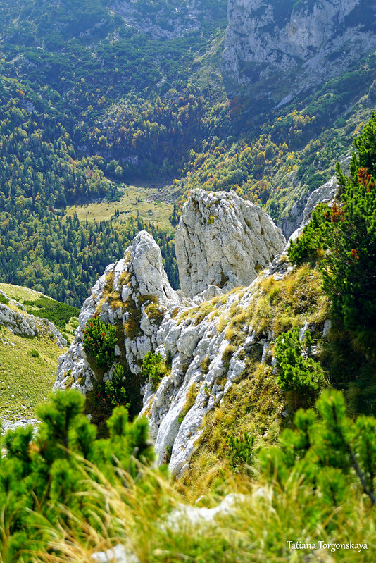
View of the goal of the ascent - Crvena Greda (a mountain covered with a green carpet rises above a coniferous forest and stretches from the center to the right).
The name of the summit, which translates as the Red Ridge, by the way, may surprise you, since it usually looks gray or yellowish, but not red at all. However, when it is illuminated by the rays of the rising sun, it is really able to acquire a red or pink hue. This morning color gave the mountain its name.
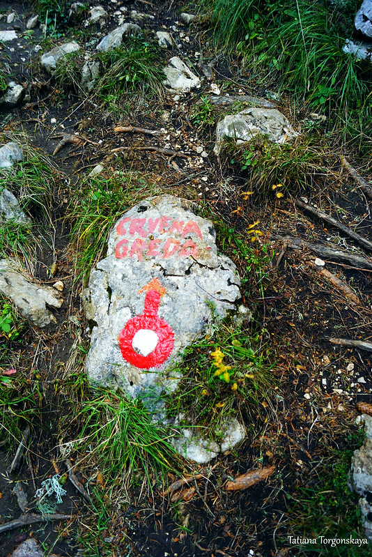
Approximately 30-40 minutes from our starting point - a sign by the road, finally merges with the marked trail. After that, you just need to follow the hiking marks.

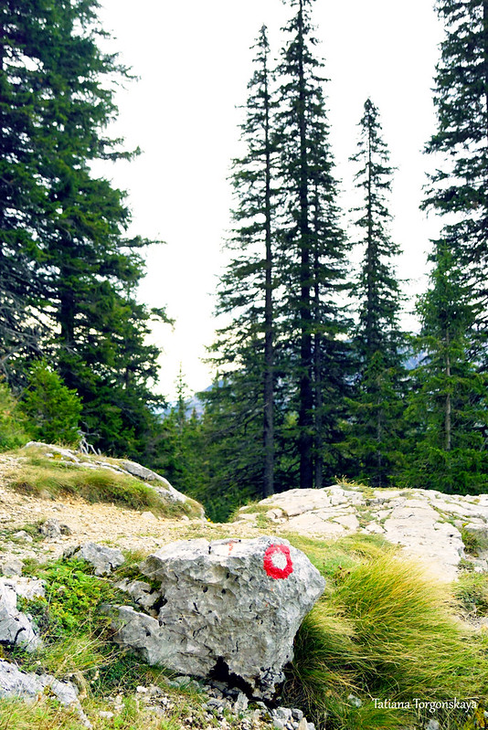
The marks are located quite often and are clearly visible.

But even without that, the path itself is perfectly visible due to the fact that a much larger number of people are already passing here, not allowing the path to overgrow.

Landscape from the track.

Here, the trail is still surrounded by spruces.

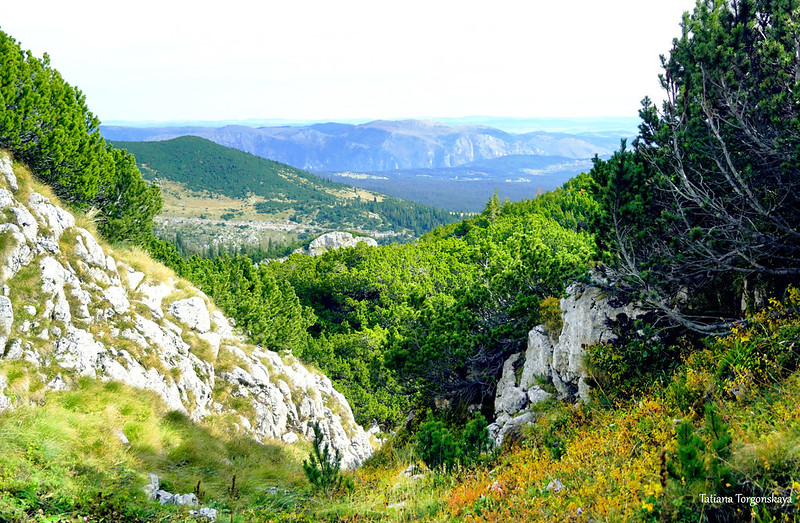
But after some time, the path completely leaves the forest.
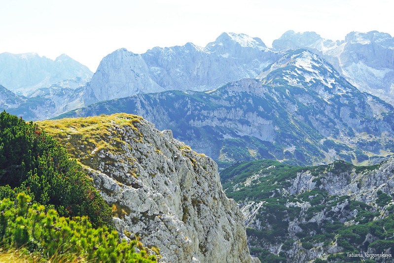
And at this moment, an excellent view of Crvena Greda opens up.
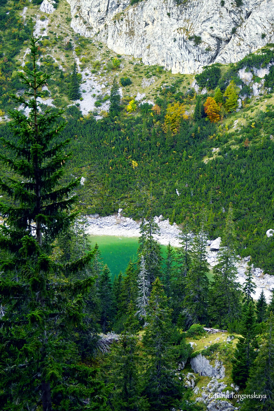
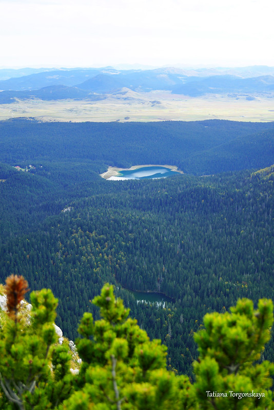
You can also see the Jablan lake lying under the mountain. It is also possible to get to it in several ways, including from this route to the Crvena Greda. The turning to the lake, however, has already been left behind, below, marked with the corresponding inscription (I did not include the story about the lake here, so as not to overload the post, I will write about it sometime later, separately).
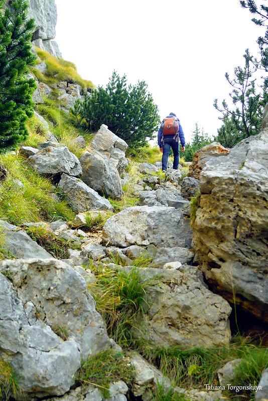
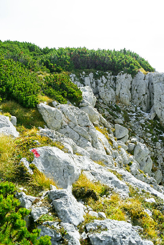
Here you can see the next part of the path. A narrow path runs along the mountainside, right under the harsh gray rocks.
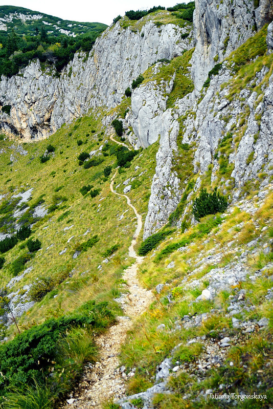

After a fairly sharp climb occurs.


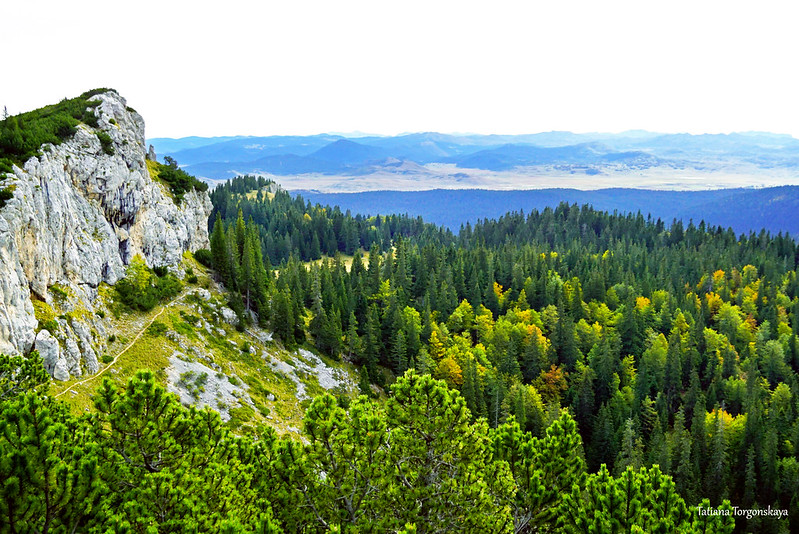
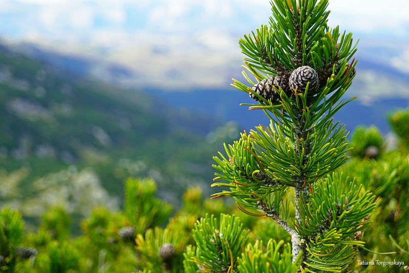
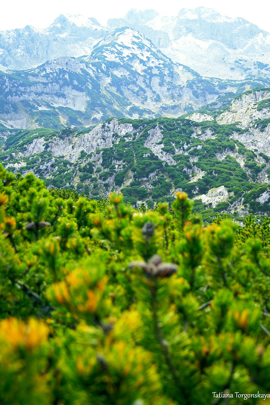
The next 1.5-2 kilometers the route also runs through an open area. The trail is mostly surrounded by grass and low Bosnian pines.


Thanks to this, you can enjoy magnificent panoramas along the way.
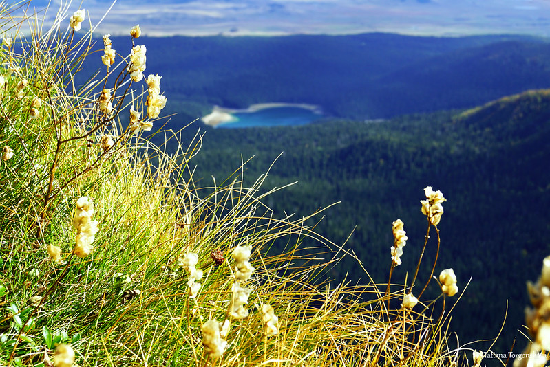
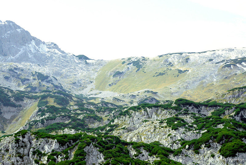
Jablan lake from a different angle.
From this point, it is already visible in its entirety, but the color of the water, due to a change in the angle of view and lighting, has changed from an inviting bright green to a boring gray.
A glance back.
As you move, periodically there are short sections with not the smoothest climb.

In general, the route belongs to the category of moderate. There are practically no dangerous and scary segments on it, but it is advisable for people with at least a little physical training to choose it. For the first time or after a long break from activities, it is better, perhaps, to find something easier.
The trail is recommended for passage from May to the end of October. There are no springs on the way, so you need to take water with you.

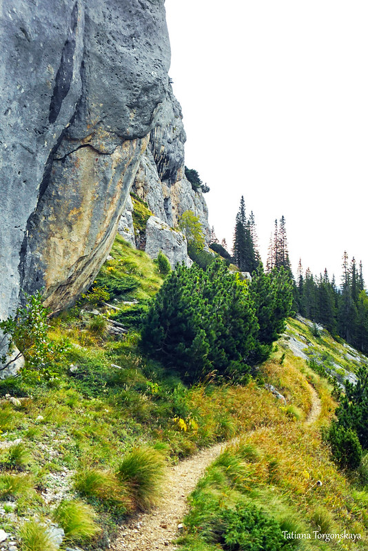
Here, by the way, is a view of one of the already passed parts of the route - the path under the rock.

Some more scenery from the track.
Final leg of the route.

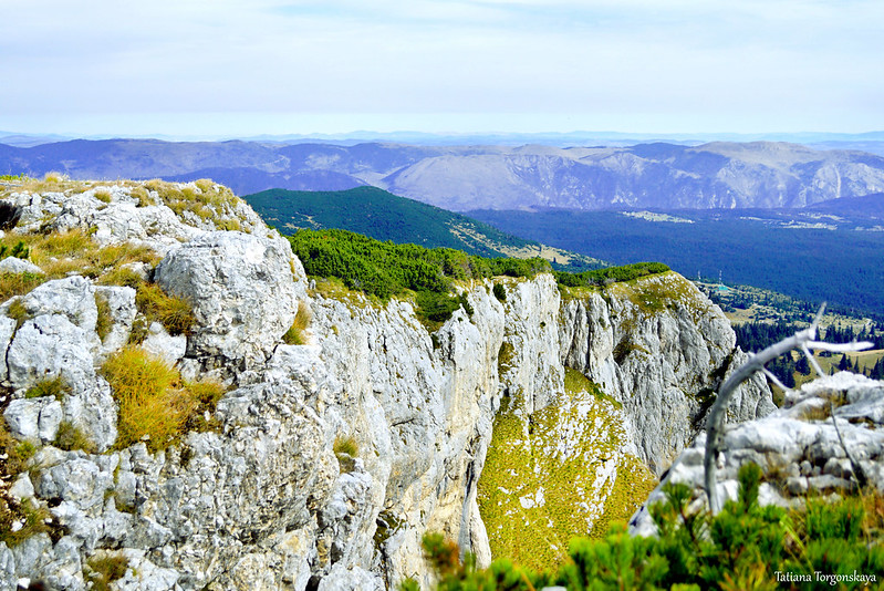
The top of the Crvena Greda is almost completely walkable, and for the most part you will be accompanied by excellent views.
But keep in mind that most often there is a steep cliff behind the rocks, so it’s better not to go very close to the edge.

Close-up of one of the edges of the ridge.
A look at the area we passed earlier.

The height of the mountain is 2175 meters above sea level.
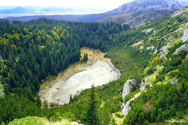
Below and closer to our peak, you can also see the dark green lake Zminje, densely surrounded by trees.
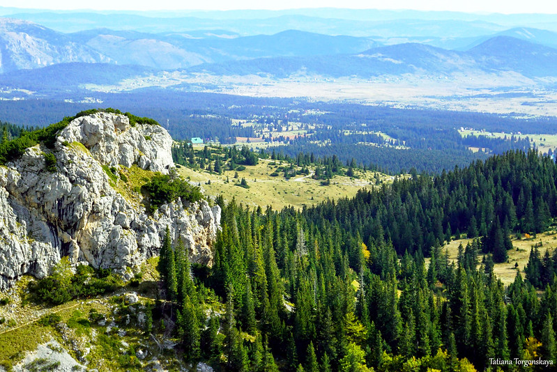
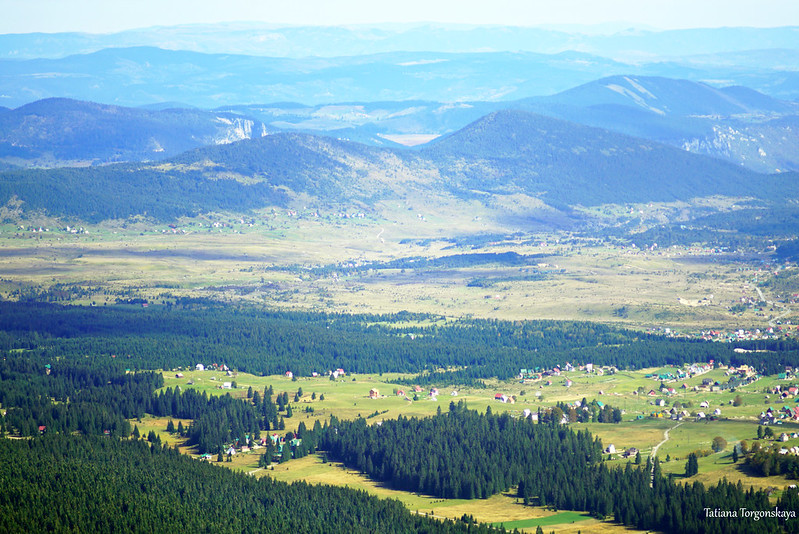
The whole Žabljak is perfectly visible
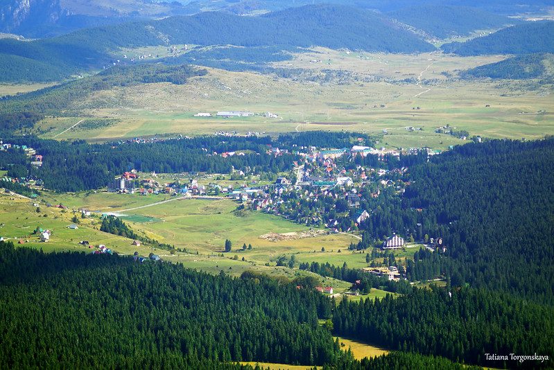
and its surroundings.

Mountain slopes on the left.

Review to the right, to Crvena Greda and the area behind it.
And here is the most popular view point of the ridge with a person standing on it.

Most tourists limit themselves to a short rest on that rock, but those who wish can continue their walk along the top of the mountain. The road, however, becomes more difficult here, but it is quite interesting.
For example, there will be a couple of gorges along the way.

The harshness of the gray rocks is smoothed out by the bright green of the pines.

And low yellow grass.

The trail runs along the very edge of the mountain.

The right path is still indicated by red and white marks.

View forward, to the southwestern edge of the Crvena Greda.

Its fragment is close-up and from another point a little further away.

View in the opposite direction, on another pretty lawn in front of the cliff.

Let's look down.
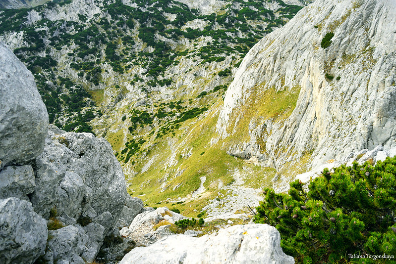
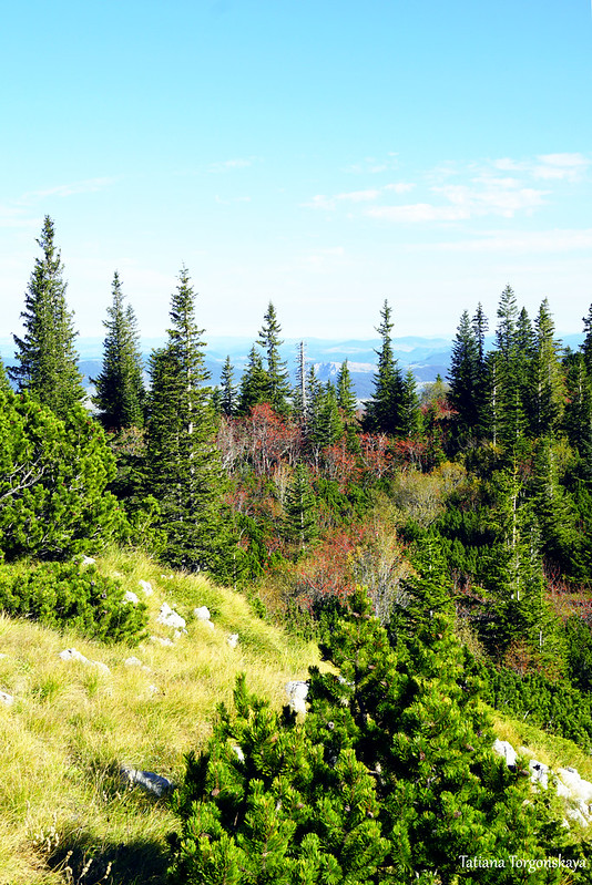
Meanwhile, in the upper part of the Crvena Greda, a whole green sea, created by pines, stretches.
Walking along the top of the mountain, sometimes you have to wade through their thickets.
This photo shows one of the marks and it is more or less clear how close the path is sometimes laid to the edge.
It can even be scary here, but there are no particularly dangerous sections, the main thing is to be careful and go through the route in dry weather. But after the rains or when it has already snowed, you should definitely refrain from walking here.
Gorge with magnificent mountains in the background.
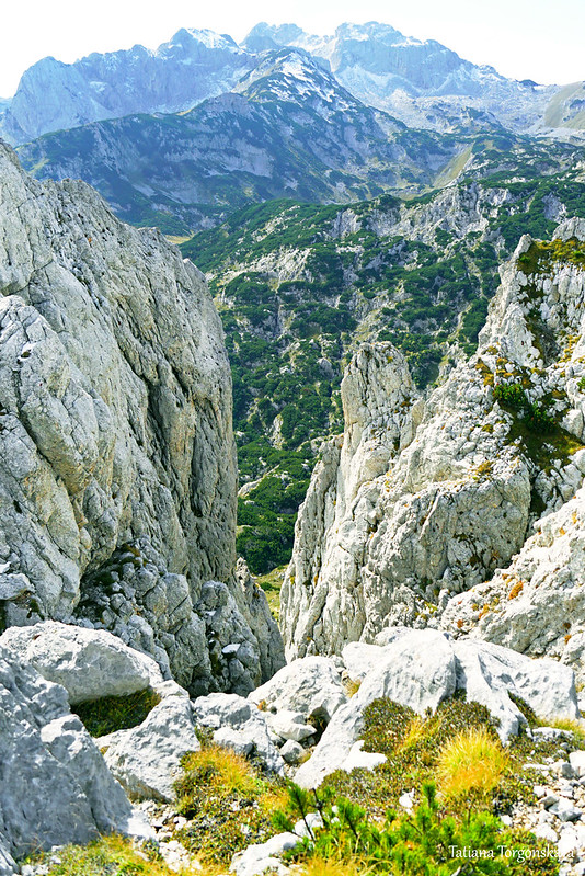
Sometimes the beauty of local landscapes is simply breathtaking.

From that very popular observation platform to the extreme point of the ridge, it will take about 30-40 minutes to walk.

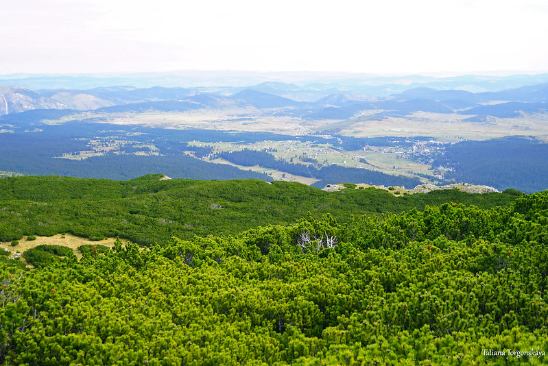
Neither Žabljak nor the Black Lake can be seen from it, but the panoramas from here are still good.


By the way, there are also a lot of pine trees in this zone, which give the landscape a special color and even a certain comfort.

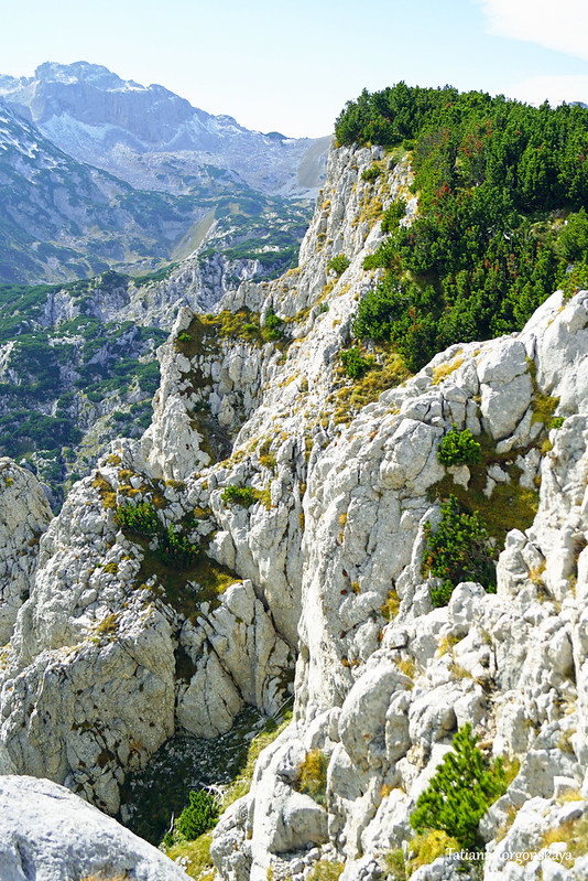
Several photos of slopes and peaks, located directly opposite the southwestern part of the Crvena Greda.


Then there are two options: go back the same way or go down from this point according to the marking, and then to climb the peaks of Gologlav ( 2196 meters above sea level) and Pašina Gomila (2196 meters above sea level). It should take 40-50 minutes to climb to Gologlav, to go to Pašina Gomila in about half an hour. Then you can go to the road Žabljak - Mala Crna Gora (about 2 km from "Momčilov Grad", above the restaurant) in about an hour.
See other posts about Durmitor National Park at these links:
Comments
Post a Comment